San Francisco Attraction Guide
Treasure Island & Yerba Buena Island
Explore Treasure Island and Yerba Buena Island with Golden Gate International Exposition history, Bay Bridge views, public art and some of San Francisco’s best skyline photography.
Two Different Islands in the Middle of the Bay
Treasure Island and Yerba Buena Island are connected, but they are not the same kind of place. Yerba Buena Island is a natural, steep-sided island. Treasure Island is largely artificial land created beside it in the 1930s.
Together they sit roughly halfway between San Francisco and Oakland, at the midpoint of the San Francisco–Oakland Bay Bridge. Their central position is what makes the skyline views so extraordinary.
Yerba Buena Island: The Older Island
Yerba Buena Island appears on early Spanish maps under several names and was formally known by its present name by the mid-19th century. Its steep topography and central bay location made it useful for navigation, defense and transportation.
When the Bay Bridge opened in 1936, Yerba Buena Island became the connection point between the bridge’s eastern and western sections. The tunnel through the island remains one of the most distinctive parts of the crossing.
Today, Yerba Buena’s hills, historic structures and newer public spaces provide a very different atmosphere from flat Treasure Island.
Treasure Island Was Built, Not Found
Treasure Island was created in 1936–1937 by filling shallow water north of Yerba Buena Island. Early planning envisioned the land as a possible airport, but its first major public identity came from a world’s fair.
The island’s flat geometry, broad roads and remaining monumental structures still reveal that exposition origin. Even after decades of military use and redevelopment, parts of Treasure Island retain the feel of a planned campus rather than an organic neighborhood.
The Golden Gate International Exposition
The Golden Gate International Exposition opened in 1939 and returned in 1940. The fair celebrated the new Golden Gate and Bay bridges and promoted San Francisco as a gateway to the Pacific.
Temporary palaces, fountains, gardens, murals, sculpture and elaborate nighttime lighting transformed the island into an exposition city. Millions of visitors came to see cultural displays, new technologies, entertainment and idealized visions of Pacific commerce.
Much of the fair architecture vanished, but the event still defines Treasure Island’s historical identity.
The Islands Today
Treasure Island and Yerba Buena Island are undergoing major redevelopment. New housing, parks, shoreline spaces, streets and public art are gradually changing how visitors move through the islands.
Because construction and access patterns can change, it is worth checking current conditions before visiting. The evolving landscape is itself part of the story: this has always been a place repeatedly remade for a new purpose.
New public spaces on Yerba Buena Island also create fresh viewpoints toward the Bay Bridge and city.
Skyline Views and Night Photography
The west-facing view toward downtown San Francisco is the main reason many visitors come. The skyline rises across open water with the western Bay Bridge span framing the scene.
Late afternoon through blue hour is the strongest photography window. In daylight you can see waterfront detail; at sunset the sky changes; after dark the buildings and bridge create a luminous panorama.
From here, Oracle Park & McCovey Cove, downtown towers and the Ferry Building & Embarcadero become parts of one continuous waterfront composition.
Public Art and a New Cultural Layer
New public art is being incorporated into parks and open spaces as redevelopment continues. The works give the islands a growing cultural identity beyond military and exposition history.
The setting is unusual for public art because sculpture can be experienced against open water, skyline and Bay Bridge infrastructure. For contrast, pair this page with Mission District & Murals to compare two very different forms of outdoor art in San Francisco.
Helpful Hints
Go for the view, but leave time to look around. A quick skyline stop can take 30 minutes; a more complete visit with public art and shoreline walking deserves 60 to 90 minutes.
For photography, arrive before sunset and stay through blue hour. You will get three completely different visual moods without changing locations.
Because redevelopment is active, check current road and parking conditions before heading out—especially for an evening visit.
The Bay Bridge and the Islands
You cannot understand Yerba Buena Island without the Bay Bridge. The island sits between the bridge’s two major sections, and the roadway passes through the island itself. When the original bridge opened in 1936, this geography turned a rocky island into one of the most important transportation points in the Bay Area.
The western span connects Yerba Buena Island with San Francisco; the eastern span connects toward Oakland. For visitors standing on Treasure Island, the western suspension span becomes a major part of the skyline view.
The bridge is especially dramatic after dark. Pair the islands with ETC’s Bay Bridge Lights page for a stronger night-photography route.
World’s Fair Architecture, Art and Spectacle
The Golden Gate International Exposition was designed to impress visitors before they even entered a pavilion. Monumental architecture, towers, fountains, sculpture and lighting created a highly controlled visual environment unlike anything else in San Francisco.
The fair’s Pacific theme reflected the city’s ambitions at the end of the 1930s. The recently completed Golden Gate and Bay bridges had radically changed regional transportation, and the exposition presented the Bay Area as a modern gateway between the United States and the Pacific world.
Although most temporary buildings disappeared, surviving structures and the island’s planned geometry still hint at that spectacle. Understanding the fair makes Treasure Island’s unusual scale much easier to read.
A Neighborhood Being Rebuilt in Real Time
Treasure Island is unusual because visitors are watching a new neighborhood emerge on top of layers of world’s-fair and military history. Housing, parks, shoreline improvements and public art are changing the island piece by piece.
That means repeat visitors may encounter a noticeably different place from one year to the next. New parks improve access to the water and skyline, while construction can temporarily alter routes and viewpoints.
Rather than seeing redevelopment as something separate from the attraction, it is useful to view it as the newest chapter in a place that has repeatedly been remade since the 1930s.
Nearby Attractions & Continue Exploring
Use these ETC attraction pages to build this stop into a larger sightseeing route:
- Oracle Park & McCovey Cove →
- Ferry Building & Embarcadero →
- Bay Bridge Lights →
- South of Market (SoMa) →
- Mission District & Murals →
Private Sightseeing
See More of San Francisco in Less Time
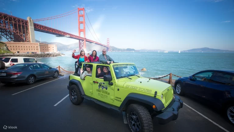
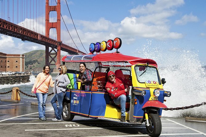
A private small-group tour makes it easy to connect this attraction with neighborhoods, viewpoints and landmarks that would otherwise require multiple parking stops or transit changes.
Private San Francisco Jeep Tour → | Private Lucky Tuk Tuk Tour →
Frequently Asked Questions
Are Treasure Island and Yerba Buena Island the same island?
No. Yerba Buena Island is natural; Treasure Island is largely artificial land created beside it in the 1930s.
Why was Treasure Island built?
It was created in the 1930s, initially with an airport concept in mind, and became the site of the 1939–1940 Golden Gate International Exposition.
Can you see the San Francisco skyline from Treasure Island?
Yes. The west-facing skyline view is one of the island’s main attractions.
How is Yerba Buena Island connected to the Bay Bridge?
The island sits between the bridge’s eastern and western sections, with the roadway passing through the island.
Was Treasure Island a military base?
Yes. The U.S. Navy operated Naval Station Treasure Island for decades, with active operations ending in 1997.
Is it good for night photography?
Yes. Treasure Island offers broad views of the illuminated San Francisco skyline and Bay Bridge across the water.